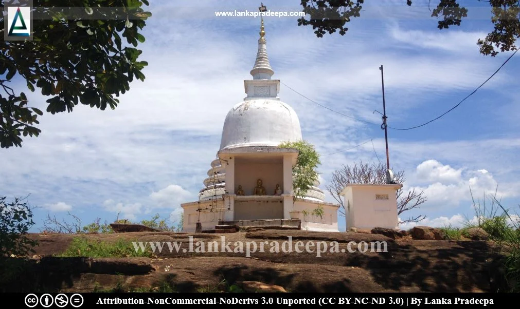
Muwangala Raja Maha Viharaya, also known as Digamadulle Purana Viharaya (Sinhala: මුවංගල රජ මහා විහාරය, දිගාමඩුල්ලේ පුරාණ විහාරය), is a Buddhist temple situated in Muwangala village in Ampara District, Sri Lanka. The site is located on the wayside of Galmadu-Muwangala-Hinguarana road about 3 km distance from Hingurana town.
History
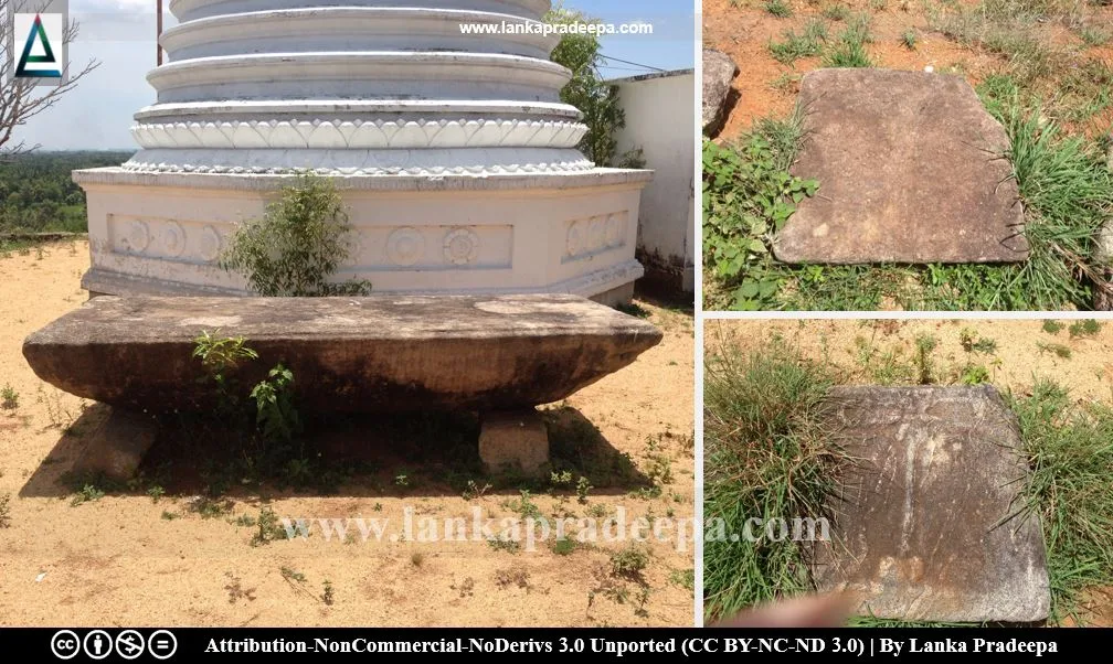
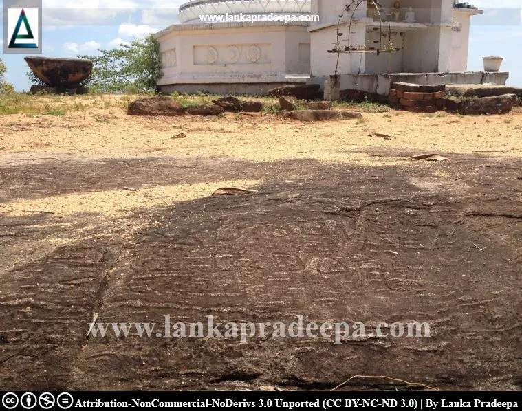
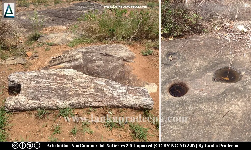
The history of this site runs back to the early Anuradhapura Period. A number of ruins are found scattered on the summit as well as the base of the Muvangala rock (Withanachchi, 2013). Sri Pathul Gal (slabs of Buddha footprint), rock-cut steps, base stones of buildings, stone pillars, fragments of bricks and roof-tiles are found among the ruins. Two inscriptions are found on the rock near the Stupa and below the drip-ledge of a cave located at the base of the rock (Withanachchi, 2013). The latter is presently covered by a brick wall of later date built against it (Paranavitana, 1983).
The inscription on the rock belongs to the 1st century A.D. and it is considered of great historical importance as it reveals the existence of a ruler named Tisa-maharaja, son of Sabaraja (Paranavitana, 1983). The last named is the ruler referred to as Subha (60-67 A.D.) in the chronicles and Saba in inscriptions (Paranavitana, 1983). He was defeated by Vasabha (67-111 A.D.) and by this inscription it is assumed that after the death of Subha, his son proclaimed himself king and was acknowledged as such, at least in the Dighavapi Area of Rohana (Paranavitana, 1983). The inscription does not indicate whether Tissa set himself up in opposition to Vasabha before or after the latter ascended the throne at Anurdahapura (Paranavitana, 1983).
Another rock inscription belonging to the 3rd century A.D. has been recorded engraved on a boulder south of the Stupa (Paranavitana, 2001). It records a grant to a Vihara of which the name is lost, by Kodini-uparaja who is not at present known from other sources (Paranavitana, 2001). The name Kodini (Sanskrit: Kaundinya) is also met with for the first time in an old Sinhala document (Paranavitana, 2001).
A protected site
Rock with the drip-ledged cave, rock inscriptions, ruins of buildings, the flight of steps and other archeological evidence at the premises of Muwangala Rajamaha Vihara situated in Grama Niladhari Division No. W/27/13, Muwangala in the Divisional Secretary’s Division, Damana (Latitude 07º35´ 002´´ N and longitude 81º76´ 20.6´´ E) are archaeological protected monuments, declared by a government gazette notification published on 26 December 2014.


.
References
1) Paranavitana, S., 1983. Muvangala rock inscription of King Tissa, son of King Sabha. Inscriptions of Ceylon, Late Brahmi Inscriptions, 2 (part 1). Archaeological Survey of Sri Lanka. p.62.
2) Paranavitana, S., 2001 (Edited by Dias, M.). Inscriptions of Ceylon: Vol. II. Part II. Archaeological Survey Department, Sri Lanka. p.217.
3) The Gazette of the Democratic Socialist Republic of Sri Lanka. No: 1895. 26 December 2014. p. 1148.
4) Withanachchi, C. R., 2013. Pauranika Sthana Saha Smaraka: Ampara Distrikkaya (In Sinhala). Department of Archaeology (Sri Lanka). ISBN: 955-9159-44-5. pp.30-31.
Location Map
This page was last updated on 29 May 2023

