Mullikulam Mountain Archaeological Site [Sinhala: මුල්ලිකුලම/මොල්ලිකුලම් ගල් කන්ද පුරාවිද්යා ස්ථානය (Mollikulam-gal-kanda); Tamil: Mullikulam-malai] is a ruined Buddhist monastery located in Mullikulam village in Ampara District, Sri Lanka. The site can be reached by traveling about 3.15 km distance along the Arasady field road that starts from the Palamunai Handiya, a junction on the Kalmune-Akkarapattu main road.
Site
Mullikulam is mostly a flat area consisting of paddy-fields and several isolated mountains. The Mullikulam mountain is one such isolated rock and the ruins of the ancient monastery can be found on the summit as well as the base of the mountain. As it is the highest point in the area, Mullikulam mountain was used as an observation point and a hideout by the LTTE cadres (a rebel group that had been designated as a terrorist organization by a number countries) during the period of Sri Lankan Civil War (Medhananda, 2003). Presently, the area is majorly populated with non-Buddhist communities.
Ruins
A large number of ancient structures are still found in the site. However, most of the ruins are seemed to be destroyed or being destroyed by the people. At the base of the south-eastern part of the mountain, a series of drip-ledged rock-caves are found and some of them preserve the traces of Ancient Brahmi-Inscriptions. However, the immediate rock plain below these caves has been destroyed by putting dynamite.
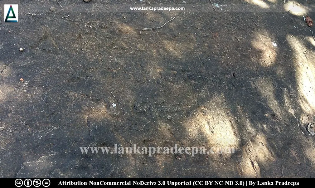
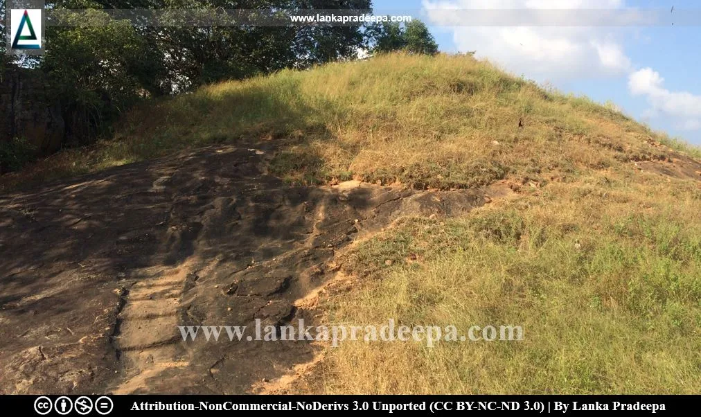
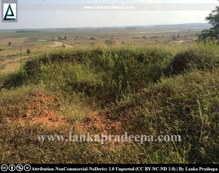
The mountain has two sections. A dilapidated brick-Stupa mound and two rock-cut flight of steps are found on the summit of the first section. The Stupa has already been destroyed by the treasure hunters and a few stone slabs, probably the covers of its relic chamber, are found scattered over the mound. A rock inscription (could be a late-Brahmi inscription) is also found engraved on the rock surface adjacent to the flight of steps at the western side of the Stupa mound. Several rock caves with drip-ledges are located on the western part of the mountain.
On the other section, a dilapidated brick mound, probably another Stupa, is found. The rock plain near to it contains the marks of the rock-cut pillar holes and other remaining. A few natural water ponds and rock-cut steps are also visible on this part.


.
Ven. E. Medhananda Thera has recorded some details about this place in his book titled "Pacheena passa - Uttara passa: Negenahira palata ha uturu palate Sinhala bauddha urumaya". According to him, a cave inscription that has been found from this site is historically very important (Medhananda, 2003).
Text: Mahathishayaha (jhitha) shavera shamaniya lene shagasha
Translation: The cave of the nun Shavera, (the daughter of) Mahatissa (is given) to the Sangha
Except this inscription, the name of the nun "Shavera" is also found recorded in an inscription at Mihintale (Medhananda, 2003). According to Ven. Medhananda, this nun is the same one who is mentioned in Ampara Madanakanda inscription as nun Abishavera, the Pachina-bumiya-raja-mathaya (the mother of the Eastern province ruler): the queen Viharamaha Devi, the mother of King Dutugemunu (161-137 B.C.), and Saddhatissa (137-119 B.C.) as well as the daughter of Kelani Thissa (Medhananda, 2003).
A protected site
The drip-ledged caves, inscriptions and ruined buildings in the premises of Mullikulam mountain (Mollikulam gal kanda) situated in the village of Mullikulam in the Divisional Secretary’s Division
of Addalachchanai are archaeological protected monuments, declared by a government gazette
notification published on 31 December 1999.


.
References
1) Medhananda, Ven. E., 2003. Pacheena passa - Uttara passa: Negenahira palata ha uturu palate Sinhala bauddha urumaya (In Sinhala). Dayawansa Jayakody & Company. Colombo. ISBN: 978-955-686-112-9. pp.199-202, 473.
2) The Gazette of the Democratic Socialist Republic of Sri Lanka, no: 2106. 31 December 1999.
2) The Gazette of the Democratic Socialist Republic of Sri Lanka, no: 2106. 31 December 1999.
Location Map
This page was last updated on 19 August 2022

