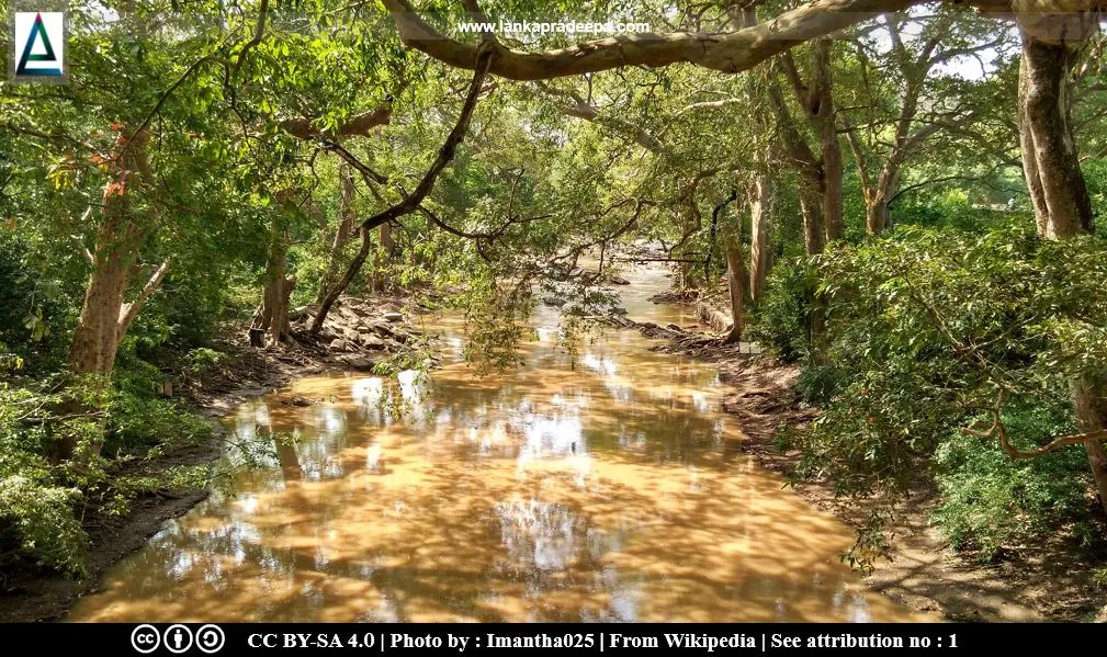
Menik Ganga (Sinhala: මැණික් ගඟ; Tamil: மாணிக்க ஆறு) is a perennial river in the southern semi-arid pan of Sri Lanka. Originates in the Namunukula mountain range, it flows about 50 miles (80 km) through Buttala and Kataragama before entering into the Indian Ocean via Yala National Park (Arumugam, 1969; Weligamage, 2011).
History
The
ancient name used in Pali chronicles to identify the Menik Ganga river was Kappakandara-nadi
(Nicholas, 1963). The Kataragama-Detagamuwa pillar inscription of King Dappula IV (923-935 A.D.) referred to this river as Kapikandur-ho (Ranawella, 2004).
River basin
The Menik Ganga river basin extends in an area of about 1,272 km2 (Dissanayake & Smakhtin, 2007). The annual mean precipitation in the basin is 1,496 mm and the estimated natural annual flow is 347 million cubic meters (Dissanayake & Smakhtin, 2007).
Reservoirs & anicuts in the Menik Ganga river basin
#) Buttala Anicut #) Karawila Wewa #) Kongaha Wewa
References
1) Arumugam, S., 1969. Water resources of Ceylon: its utilisation and development. Water Resources Board. pp.135-139.
2) Dissanayake, P. and Smakhtin, V., 2007. Environmental and social values of river water: Examples from the Menik Ganga, Sri Lanka (Vol. 121). IWMI. p.2.
3) Nicholas, C. W., 1963. Historical topography of ancient and medieval
Ceylon. Journal of the Ceylon Branch of the Royal Asiatic Society, New
Series (Vol VI). Special Number: Colombo. Royal Asiatic Society (Ceylon
Branch). p.66.
4) Ranawella, G.S., 2004. Inscription of Ceylon: Containing pillar inscriptions and
slab inscriptions from 924 AD to 1017. Volume V, Part
II. Department of Archaeology. pp.31-34.
5) Weligamage, S.P., 2011. An economic analysis of intersectoral water allocation in southeastern Sri Lanka. Washington State University. p.12.
Location Map
This page was last updated on 3 June 2022
For a complete tourist map follow this link: Lankapradeepa Tourist Map
For a complete tourist map follow this link: Lankapradeepa Tourist Map

