
|
Somawathiya National Park |
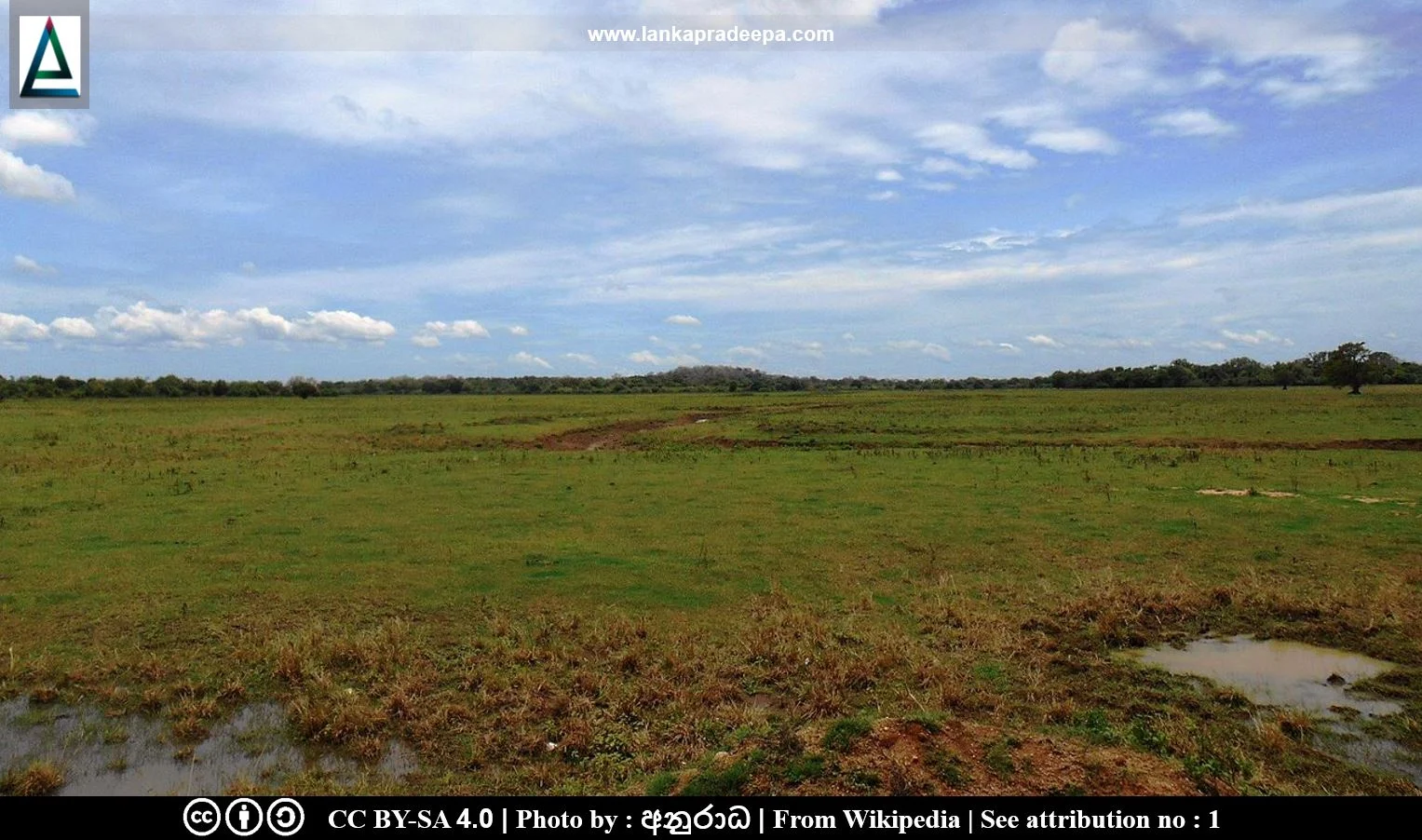
Somawathiya National Park (Sinhala: සෝමාවතිය ජාතික වනෝද්යානය) is a national park that lies between Eastern Province and North Central Province in the deltaic plain of Mahaweli Ganga River, Sri Lanka.
History
The park was originally established as a sanctuary on 9 August 1966 and was designated as a national park on 2 September 1986 (Green, 1990). It was extended through the addition of Block II on 12 May 1987 (Green, 1990). It is presently incorporated with the Mahaweli Environment Project.
Physical Features & Climate
The total area of the park is 37,762 ha [(Block I: 21,056.8 ha, Block II: 16,705.6 ha) Green, 1990]. It is contiguous with Flood Plains National Park to the south and to Tirikonamadu Nature Reserve to the east (Green, 1990). The western part of the national park (Block II) provides a link with the Hurulu Forest Reserve (Green, 1990).
The park lies in the deltaic flood plains of the Mahaweli Ganga River and surrounds the junction where it is forked into two branches: the Mahaweli Ganga River, which flows north into Koddiyar Bay and the lesser Verugal Oya which flows north-east into the sea (Green, 1990). The national park’s vegetation is classified into Sri Lanka monsoon forests (Ahamed, 2015).
Related Posts
Read Also
References
Books
1) Green, M.J.B. ed., 1990. IUCN directory of South Asian protected areas. IUCN. pp.256-259.
Location Map
Dynamic Google Map
Attribution
To Whom
1) Somawathiya National Park, Sri Lanka by අනුරාධ is licensed under CC BY-SA 4.0
