
|
Maha Oya River |
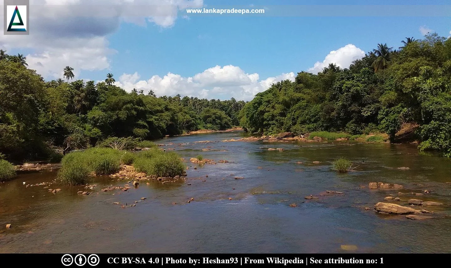
Maha Oya (Sinhala: මහ ඔය; Tamil: மகா ஆறு) is a stream that originates in the hilly regions around Aranayaka, Batalegala and Kadugannawa in Kegalle District, Sri Lanka. It is 134 km in length and flows through three provinces (Sabaragamuwa, Central, and Western) and four districts [(Kurunegala, Gampaha, Kegalle, and Puttalam) Palliyaguru et al., 2022; Vithanage, 1988]. After passing several towns such as Aranayaka, Mawanella, Rambukkana, Polgahawela, Alawwa, Giriulla and Badalgama, it discharges water into the Indian Ocean at Kochchikade town near Negombo.
Rambukkan Oya and Kuda Oya are tributaries of Maha Oya.
River basin
Located between 7°0′0″–7°30′0″ N and 79°50′0″–80°35′0″, the Maha Oya River basin is considered one of the major river basins in the country (Palliyaguru et al., 2022). Approximately 75% of the river basin is located in the wet zone while the other 25% lies in the intermediate zone of Sri Lanka (Palliyaguru et al., 2022). The basin consists of a catchment area of 1,528 sq. km (Kaleel et al., 2016) The average annual rainfall of the catchment is around 2,374 mm and the average discharge to the sea has been estimated as 1260 MCM per year.
The stream is used for bathing, washing as well as drinking purposes (Abayasekara et al., 2007).
Related Posts
Read Also
References
Books, Journal Articles
1) Abayasekara, C.L., Siriwardana, C.L. and Razaak, M.G.M., 2007. Water quality of Maha Oya stream in Peradeniya. Ceylon Journal of Science (Biological Sciences), 36(2). pp.134-137.
2) Kaleel, M.I.M., Rinos, M.H.M., & Mathanraj, S., 2016. River erosion and degradation of Maha Oya river basin; A study based on selected areas. 6th International Symposium 2016, South Eastern University of Sri Lanka, pp. 711-719.
3) Palliyaguru, C., Basnayake, V., Makumbura, R.K., Gunathilake, M.B., Muttil, N., Wimalasiri, E.M. and Rathnayake, U., 2022. Evaluation of the impact of land use changes on soil erosion in the tropical Maha Oya River Basin, Sri Lanka. Land, 12(1), p.107.
4) Vithanage, P.W., 1988. Relief and Drainage. The National Atlas of Sri Lanka. Survey Department of Sri Lanka. ISBN: 9559059009. pp.22-23.
Location Map
Dynamic Google Map
Attribution
To Whom
1) Maha Oya,Crossing Kotadeniyawa Road by Heshan93 is licensed under CC BY-SA 4.0
