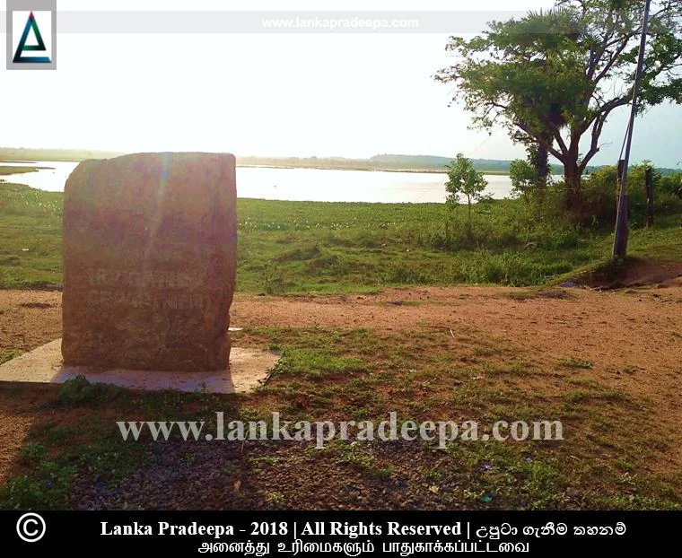
Walathapitiya Wewa (Sinhala: වලතාපිටිය වැව) is a lake located in Sammanture in Ampara District, Sri Lanka. The site can be reached by travelling 2 km from the Walathapitiya Wewa junction on the Ampara-Sammanture road about 6.5 km from Ampara town. Restored in 1912, the tank is presently incorporated in the Gal Oya Scheme (Arumugam, 1969).
The reservoir
The reservoir is located in the Gal Oya River basin. Except for the drainage from its own catchment area, a channel from Konduwatuwana Reservoir supplies water to the Walathapitiya Reservoir (Arumugam, 1969). The bund of the reservoir is about 1.5 miles long and the water is extending in an area of about 380 acres at its full supply level (Arumugam, 1969). The reservoir has 2 sluices and 3 spills (Arumugam, 1969).
Ruins
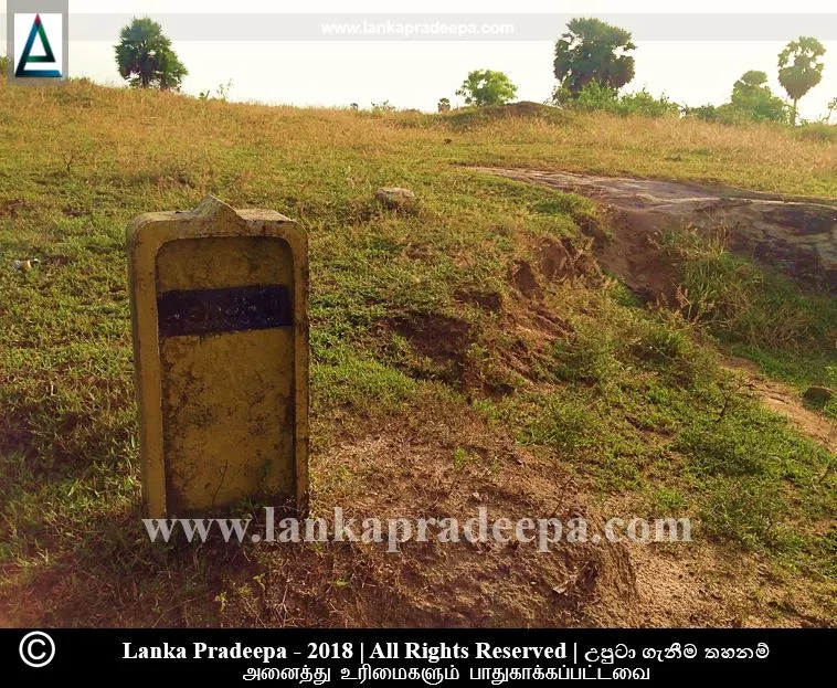
Several sites with archaeological evidence have been found around Walathapitiya Lake. One site is located at the spill of the lake where random scatterings of bricks, clay pieces, stone pillar fragments and washed-off debris are found. Some earth mounds which seem to be vandalized by the people indicate the existence of ancient structures and buildings at the site. Another site with evidence of an ancient rock quarry is found on a rock plane near the lake road.
A protected site
The premises with stone pillars, relics of ancient bricks and pieces of tiles [premises bounded north-east by the outer canal of Walathapitiya lake, south and west by paddy field, north-west by the bund of the lake (07º 19' 23.5´´ N 81º 43´ 30.9´´ E)] situated towards south-east from the spill of Walathapitiya lake and the rock plain with the sign of quarry at Walathapitiya lake road (07º 18´ 42.6´´ N 81º 43´ 17.7´´ E) are protected archaeological sites declared by a Gazette notification published on 26 December 2014.


 .
.
References
1) Arumugam, S., 1969. Water resources of Ceylon: its utilisation and development. Water Resources Board. p.170.
2) The Gazette of the Democratic Socialist Republic of Sri Lanka, no: 1895. 26 December 2014. p. 1149.
2) The Gazette of the Democratic Socialist Republic of Sri Lanka, no: 1895. 26 December 2014. p. 1149.
Explore Other Nearby Attractions
Location Map (Google)
This page was last updated on 23 April 2023

