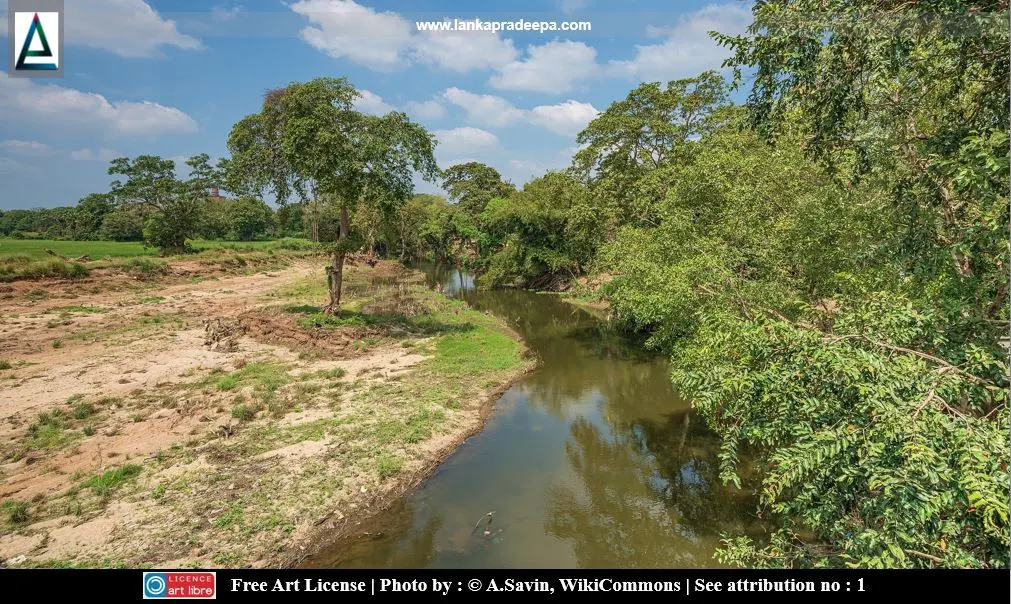
Malwathu Oya (Tamil: Aruvi Aru) is a river in the Dry Zone of Sri Lanka.
The river originates from Ritigala Hills (766 m MSL) in the North Central Province and after travelling about 162 km, it eventually empties into the Indian Ocean at Arippu in Mannar District (Thiruvarudchelvan & Sivakumar, 2019).
History
Malwathu Oya is mentioned in chronicles such as Mahavamsa as Kadamba Nadi [(Kalamba or Kolom Oya) Nicholas, 1963]. King Vasabha (67-111 A.D.) is said to have improved a temple named Kalambatitha or Gal-ambatitha Viharaya which was on the bank of the Malwathu Oya (Nicholas, 1963). King Moggallana II (531-551 A.D.) built a tank named Pattapasana Wewa (probably Nachchaduwa Wewa) by damming the Malwathu Oya (Nicholas, 1963).River basin
The Malwathu Oya river basin extending in an area of about 3,284 km2 is the second-largest catchment among the river basins in Sri Lanka (Dahanayake & Rajapakse, 2019). About 70% of the upper catchment of it is located in the Anuradhapura District while the lower catchment is located in Vavuniya and Mannar Districts (Thiruvarudchelvan & Sivakumar, 2019). Mainly the river basin is used for irrigation, water supply and other diversions in the North Central Province (Dahanayake & Rajapakse, 2019). The basin is augmented by adjacent Kala Oya basin from Kala Wewa via Yoda Ela channel to feed Nachchaduwa Wewa, Tissa Wewa and Abhaya Wewa reservoirs (Dahanayake & Rajapakse, 2019).
Attribution
References
1) Dahanayake, A.C. and Rajapakse,
R.L.H.L., 2019, July. Water quality deterioration in the malwathu oya
basin, Sri Lanka and the need for physics-based modelling. In 2019 Moratuwa Engineering Research Conference (MERCon) IEEE. pp.308-313
2) Nicholas, C. W., 1963. Historical topography of ancient and medieval Ceylon. Journal of the Ceylon Branch of the Royal Asiatic
Society, New Series (Vol VI). Special Number: Colombo. Royal Asiatic
Society (Ceylon Branch). pp.158,168.
3) Thiruvarudchelvan, T. and Sivakumar, S., 2019. Operational Policy of the Reservoirs in Malwathu Oya River Basin to Minimize Flood Damages in Anuradhapura, Vavuniya and Mannar Districts in Northern Sri Lanka. GSJ, 2, pp.39-48.
3) Thiruvarudchelvan, T. and Sivakumar, S., 2019. Operational Policy of the Reservoirs in Malwathu Oya River Basin to Minimize Flood Damages in Anuradhapura, Vavuniya and Mannar Districts in Northern Sri Lanka. GSJ, 2, pp.39-48.
Location Map
This page was last updated on 3 June 2022
For a complete tourist map follow this link: Lankapradeepa Tourist Map
For a complete tourist map follow this link: Lankapradeepa Tourist Map

