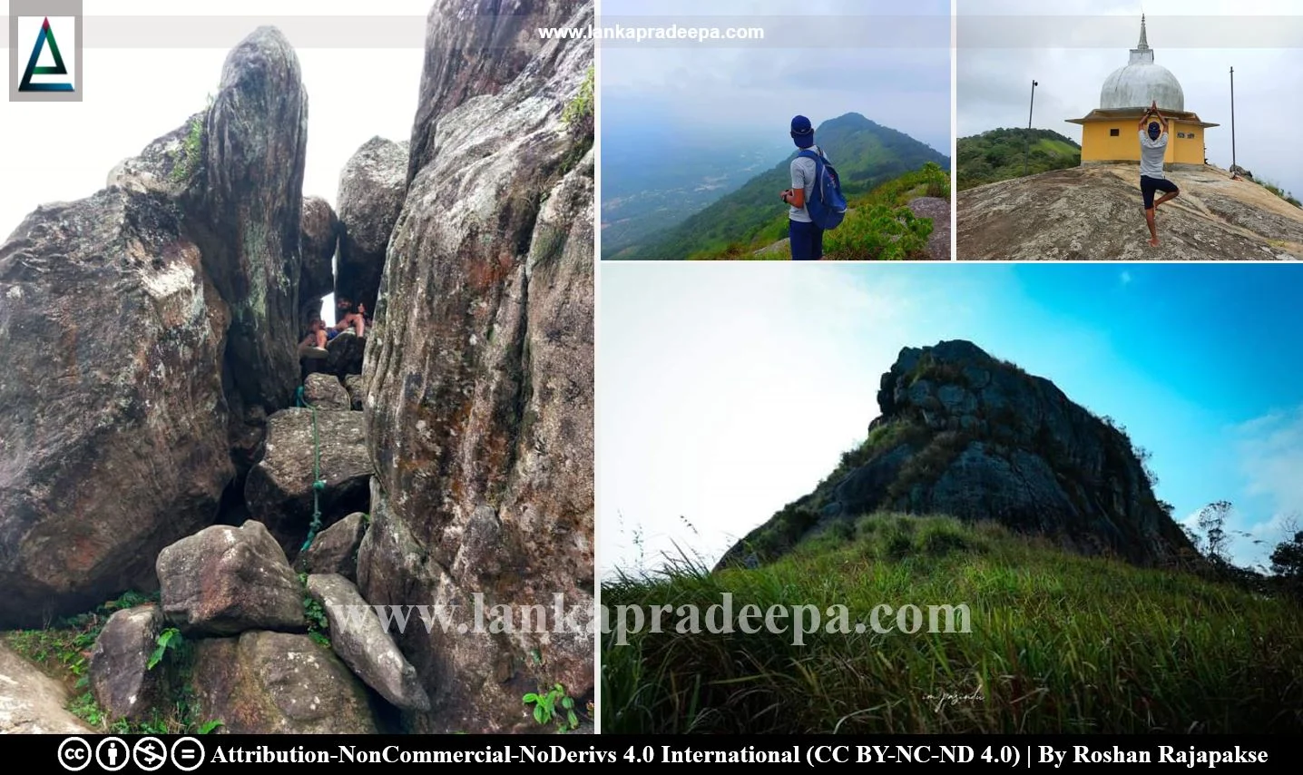
Alagalla Mountain Range (Sinhala: අලගල්ල කඳුවැටිය) is situated at the boundary between the Central and Sabaragamuwa Provinces near Ihalakotte Railway Station near Mawanella in Sri Lanka. The Balana Pass, the key accessway to the hill country (Uda Rata/Kandyan Kingdom) for those who come along the old Colombo-Kandy Road is located on the southern edge of this mountain range.
Rising to a height of 1,033 m (3389.10 ft.) above mean sea level, there are four peaks in this mountain range. The first mountain is Alagalla Mountain while another peak is called Pooja Gala where a small-scale Stupa has been constructed. The mountain range belongs to three Divisional Secretariat Divisions; Rambukkana, Yatinuvara and Mawanella. A panoramic view of the surrounding landscape can be obtained at the summit of the mountain, including the Bathalegala Rock, Devanagala, Ambuluwawa, Uthuwankanda, Knuckles Mountain Range and Hanthana Mountain Range.
Alagalla Mountain is mentioned in local folk poetry as follows;
“Alata kanda beri Alagalle Kanda, Bathata kanda beri Batalegala Kanda,Hunata kanda beri Hunnasgiri Kanda, Me kandu thunata nayake Samanala Kanda,”Translation: “One cannot eat Alagalla Mountain like a potato; one cannot eat Batalegal Mountain with rice; one cannot eat Hunnasgiri Mountain as lime in betel chewing; the leader of all three mountains is Sri Pada.
Do you know?
Explore Other Nearby Attractions
Location Map (Google)
This page was last updated on 30 July 2023

