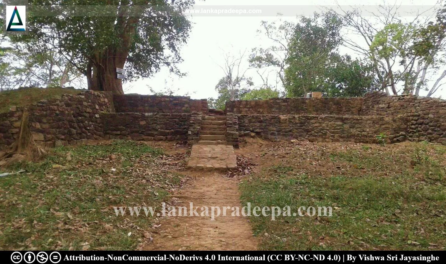
Balana Fort (Sinhala: බලන බලකොටුව) is an ancient fort of the Kandyan Kingdom situated on a hill named Balana Kanda near the Alagalla Mountain Range in Kandy District, Sri Lanka.
History
Balana Pass
Located on the southern edge of the Alagalla Mountains, the Balana Pass was a key accessway to the hill country (Uda Rata/Kandyan Kingdom) for those who come along the old Colombo-Kandy road. In the Sinhala language, Balana means "Look-Out" and this place was used as a checkpoint on the approach to Kandy and also as a strategic point of defence against invasions (Rajapakse, 2016). Balana is mentioned in the Trisinhale Kadaim Potha as the boundary line which separated the Four Korales from the hill country.
Fortification
Balana was fortified several times due to several wars that had taken place there. The war between Konappu Bandara (reigned as King Wimaladharmasuriya I: 1591-1604 A.D.) and King Rajasinha I (1581-1591 A.D.) was one such event (Abeywardana, 2004). The first description of a fortress at Balana is found during the reign of Wimaladharmasuriya I. The fort fell into the hands of the Portuguese on 2 February 1603 under an attack led by Azavedo (Uduwara, 1990).
The Site
Presently the ruins of two forts can be found on the summit of Balana Hill (Rajapakse, 2016). The fort located to the southeast has a quadrangular layout with three circular bastions and a narrow entrance facing the east. Some conservation work was carried out at the site by the Department of Archaeology around the early 2000s.
An Archaeological Reserve
The land plot named Balana Kotuwa Puravidya Sthanaya [F.V.P. no 27 lot 62 E (consisting of 0 acres, 0 roods, 10.25 perches), F.V.P. no 27 lot 62 F (consisting of 0 acres, 1 rood, 27 perches), F.V.P. no 28 lot 51 I (consisting of 0 acres, 0 roods, 14.3 perches) and F.V.P. no 28 lot 51 J (consisting of 0 acres, 2 roods, 6 perches)] situated in Balana village in the Divisional Secretary’s Division, Yatinuwara is an archaeological reserve, declared by a government Gazette notification published on 2 August 1929.
See Also
References
1) Abeywardana, H.A.P., 2004. Heritage of Kandurata: Major natural, cultural and historic sites. Colombo: The Central Bank of Sri Lanka. p.88.
2) Rajapakse, S., 2016. Pauranika Sthana Ha Smaraka: Mahanuwara Distrikkaya (In Sinhala). Archaeological Department of Sri Lanka. ISBN:955-9159-34-8. p.80.
3) The Gazette notification. no: 7726. 2 August 1929.
4) Uduwara, J., 1990. History of the Department of Archaeology, 1970-1990. Archaeological Department Centenary (1890-1990): Commemorative series: Volume I: History of the Department of Archaeology. p.166.
Attribution
1) LankaPradeepa.com would like to thank Vishwa Sri Jayasinghe for providing the necessary photographs required for this article. All the photos are published here with the permission of the author.

