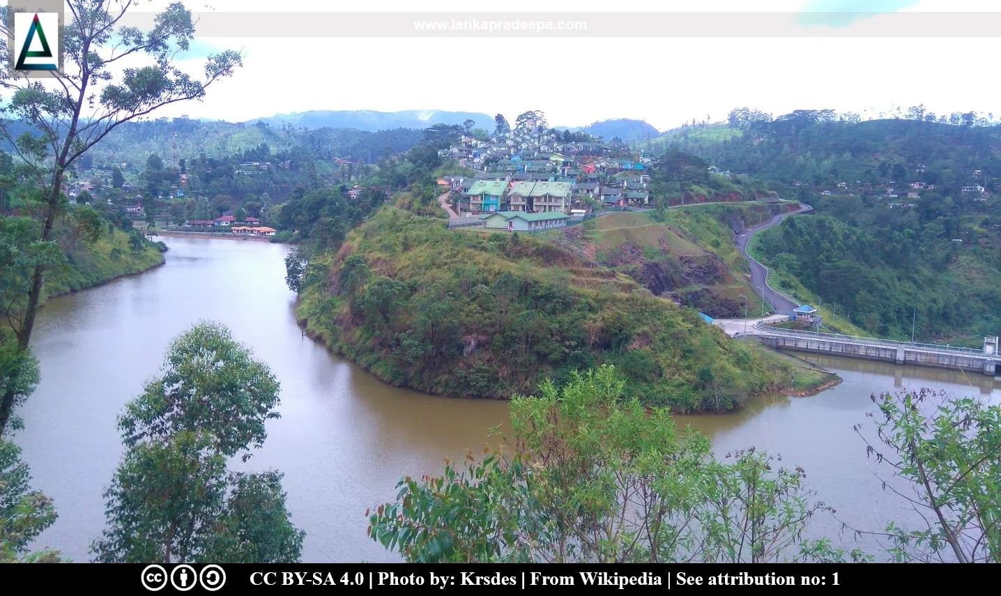
Kotmale Oya (Sinhala: කොත්මලේ ඔය; Tamil:
கொத்மலை ஆறு) is one of the seven major tributaries of the Mahaweli Ganga, the longest river in Sri Lanka (Johansson, 1989). At Kadadora village, about 6.6 km upstream from the confluence of the Mahaweli Ganga and the Kotmale Oya, the latter has been impounded forming the Kotmale Reservoir (Johansson, 1989; Silva, 1996).
River basin
Located in Nuwara Eliya District, the river is approximately 70 km long and drains a basin of about 571.20 sq. km, which is about 18.8 % of the total extent of the Upper Mahaweli Catchment (Amarathunga et al., 2014). The average annual rainfall of the basin ranges from 2,000 mm to above 4,500 mm, and the elevation ranges from 600 m to 2,524 m at Pidurutalagala (Amarathunga et al., 2014).
The Agra Oya, Dambagastalawe Oya and Nanu Oya are the main tributaries of the Kotmale Oya (Silva, 1996). The Agra Oya and Dambagastalawe Oya descend along steep gradients and join together at the Caledonia Estate and flow westward till Talawakelle, where the stream turns sharply northward before it merges with the Nanu Oya to form the Kotmale Oya proper (Silva, 1996).
Do you know?
Attribution
References
1) Amarathunga, A.A.D., Weerasekara, K.A.W.S., Azmy, S.A.M., Sureshkumar, N., Wickramaarchchi, W.D.N. and Kazama, F., 2014. Behavior and loading of suspended sediment and nutrients from river basins in the hilly catena under intensive agriculture cropping: A case study in Upper Kotmale basin in Sri Lanka. Journal of Environmental Professionals Sri Lanka, 2(2).
2) Johansson, D., 1989. The Kotmale Environment: A study of the environmental impact of the Kotmale Hydropower Project in Sri Lanka. SIDA Evaluation Report, Infrastructure, Sri Lanka. ISBN: 91-586-7102-1. pp. 9.
3) Silva, E.I.L., 1996. Water Quality of Sri Lanka. Institute of Fundamental Studies, Sri Lanka. pp.83-91.
Explore Other Nearby Attractions
Location Map
This page was last updated on 10 September 2023

